What would your day look like if you lived at St. Joe Beach and worked in Port St. Joe or even Panama City? You want short drives, reliable routes, and a clear picture of how US‑98 behaves through the seasons. In this guide, you’ll get typical drive times, what to expect on US‑98, non‑driving options, and storm‑smart planning tips so you can commute with confidence. Let’s dive in.
Where US‑98 takes you
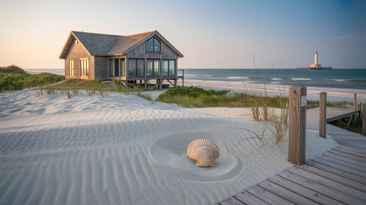
St. Joe Beach sits along US‑98 near Port St. Joe on St. Joseph Bay. US‑98 is the main coastal route that connects local homes to shops, dining, and services in Port St. Joe. For quick orientation, St. Joe Beach is commonly described as minutes from Port St. Joe along US‑98 (local overview).
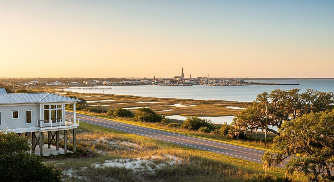
Port St. Joe is the Gulf County seat, and US‑98 runs through town before heading northwest toward Panama City and southeast toward Apalachicola. These connections make day‑to‑day errands and regional trips straightforward (city overview and distances).
Everyday commutes from St. Joe Beach
St. Joe Beach to Port St. Joe
For most residents, this is a quick hop. Plan roughly 5 to 15 minutes depending on your exact start point and traffic. It feels more like a local errand than a true commute (area snapshot).
Nearby beach towns
Mexico Beach, Windmark, and Highland View are close by along US‑98. Expect about 5 to 20 minutes by car depending on the stoplights and time of day.
Regional drives
If your job is in Panama City, you’ll head northwest on US‑98. The distance from Port St. Joe is about 36 miles, and typical drive times run 45 to 75 minutes based on hour and season (distance reference). Eastbound to Apalachicola is about 23 miles, or roughly 25 to 45 minutes with stops and traffic.
Airports and longer trips
The nearest larger airport is Northwest Florida Beaches International (ECP) in the Panama City Beach area. Travel time varies with season and routing, so use live navigation for accurate estimates before you go.
What US‑98 feels like day to day
US‑98 changes character along the Panhandle. Some sections are two lanes, others widen to four through busier areas. That mix affects passing zones, congestion, and how a drive “feels” at different hours (roadway overview).
Seasonal tourism is the biggest variable. Spring break, summer weekends, and holidays can slow things near popular beach pockets. You’ll also see some freight traffic given Port St. Joe’s industry and port access (local context).
Construction and road updates
FDOT frequently resurfaces and upgrades segments along US‑98, which can mean intermittent lane closures or nighttime work. Check FDOT roadwatch and district updates before longer drives. Here’s a representative example of an FDOT resurfacing notice to give you an idea of the work they announce (FDOT resurfacing example).
Non‑driving options
Fixed‑route bus service is limited in Gulf County, but Big Bend Transit now serves the county with curb‑to‑curb rides and a Transportation Disadvantaged (TD) program for eligible riders. Review eligibility and how to schedule on the operator’s site (Big Bend Transit FAQs). Recent local coverage also highlighted free weekday rides for qualifying residents under the TD program (program news).
Ride‑hail availability can be limited in rural coastal areas, and local taxis or shuttles may have narrower hours or coverage. If you plan to rely on alternatives, confirm schedules and book ahead when possible (regional transportation overview).
Weather and evacuation planning
This corridor is coastal, so hurricane season requires a plan. US‑98 is used for evacuations, and travel patterns can change quickly during storm threats. Expect extended delays and possible detours during an evacuation. Stay alert to state and county guidance and know your zone (state emergency updates example).
Major storms have caused closures and repairs along US‑98 and nearby coastal roads in past events. After heavy weather, watch for flooding, debris, or signal outages and use alternate routes if needed (storm impact reporting).
Buyer tips: commuting from St. Joe Beach
- Decide how often you’ll drive regionally. A Panama City commute is feasible, but plan roughly 45 to 75 minutes and expect seasonal slowdowns.
- Budget for a personal vehicle. Fixed‑route transit is limited and demand‑response rides must be scheduled.
- Check live traffic before long trips and keep an eye on FDOT updates for resurfacing or lane work.
- During storm season, keep your tank above half, know your evacuation routes, and have a go‑bag ready.
Seller tips: highlighting access and commutes
- Lead with the local ease: 5 to 15 minutes to Port St. Joe amenities and services via US‑98.
- Be transparent about regional drives. Note typical times to Panama City and the nearest airport and mention seasonal traffic.
- Reference US‑98 as the primary route and suggest buyers use live navigation to plan.
- Mention available alternatives like Big Bend Transit for eligible riders, with a reminder to check current program details.
Smart commuting checklist
- Review live traffic and FDOT updates before heading out.
- Avoid mid‑day weekend departures during peak seasons when possible.
- Keep an alternate route list for stormy days.
- Store a small kit in your car with water, phone charger, and a flashlight.
Ready to explore your options?
Whether you want a quick local commute or a beach base with regional access, a clear plan helps you get more from everyday life on the Forgotten Coast. For tailored neighborhood guidance, commute insights, and a smooth buying or selling experience, connect with Debbe Wibberg.
FAQs
Is US‑98 reliable for daily commuting from St. Joe Beach?
- Generally yes for local trips, but reliability varies by two‑lane vs four‑lane segments, seasonal traffic, and any construction or storm events. Check live traffic and FDOT updates for closures (roadway overview).
Can I use public transit to commute from St. Joe Beach?
- Fixed‑route service is limited. Big Bend Transit offers curb‑to‑curb and TD program rides for eligible riders in Gulf County. Review eligibility and scheduling details before relying on it for work trips (Big Bend Transit FAQs).
How does hurricane season affect commuting on US‑98?
- Evacuation orders can change traffic patterns quickly and cause long delays. Roads can also experience flooding or damage during major storms. Know your zone and follow official updates (state emergency updates example).
What are typical drive times from Port St. Joe to Panama City?
- It is about 36 miles along US‑98, and typical drive times range from roughly 45 to 75 minutes depending on time of day and season (distance reference).